Tides & Great Lakes Water Levels
The rising and falling of the sea, “the tides,” are a phenomenon upon which we can always depend. Caused by the gravitational pull of the moon and the sun, tides are very long-period waves that move through the ocean and progress toward the coastlines where they appear as the regular rise and fall of the sea surface. The same happens in the Great Lakes, although the largest tides in the Great Lakes are only about 5 cm and are mostly impacted by precipitation, evaporation and runoff.
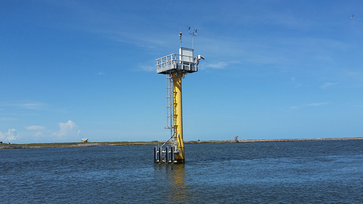
CO-OPS maintains the National Water Level Observation Network (NWLON), an observation network with more than 200 permanent water level stations on the coasts and Great Lakes. This system allows NOAA to provide the official tidal predictions for the nation. Accurate water level data is critical for safe and efficient marine navigation and for the protection of infrastructure along the coast. The NWLON also provides the national standards for tide and water level reference datums used for nautical charting, coastal engineering, international treaty regulation, and boundary determination. The NWLON is also widely recognized as the key federal component of the Integrated Ocean Observing System (IOOS).
-
NOAA Tide Predictions
NOAA's official tide predictions. -
Water Levels
Real-time water level information updated every 6 minutes. -
Tsunami Capable Tide Stations
Real-time water level information that supports the National Tsunami Warning System (updated every 1 minute). -
Datums
The base elevation used as a reference from which to reckon heights or depths. Tidal datums and International Great Lakes Datum information provided. -
Astronomical Data
This service has been discontinued after 2024. We recommend using the U.S. Naval Observatory, Astronomical Applications service to retrieve astronomical data. -
Tidal Analysis Datum Calculator
Use this web based water level analysis tool to compute tidal datum elevations useful for coastal planning and management. -
Harmonic Constituents
Information about the different forces that interact to produce tide predictions. -
Bench Mark Sheets
Details about the fixed physical objects or marks used as references for datums. -
Extreme Water Levels
Statistics that shows the likelihood water levels will exceed a given elevation for select NOAA stations. -
Water Level Reports
Various water level reports in table and report format. -
Coastal Inundation Dashboard
Provides real-time and historical coastal flood information at a majority of active water level stations.
Tides & Great Lakes Water Levels
The rising and falling of the sea, “the tides,” are a phenomenon upon which we can always depend. Caused by the gravitational pull of the moon and the sun, tides are very long-period waves that move through the ocean and progress toward the coastlines where they appear as the regular rise and fall of the sea surface. The same happens in the Great Lakes, although the largest tides in the Great Lakes are only about 5 cm and are mostly impacted by precipitation, evaporation and runoff.
CO-OPS maintains the National Water Level Observation Network (NWLON), an observation network with more than 200 permanent water level stations on the coasts and Great Lakes. This system allows NOAA to provide the official tidal predictions for the nation. Accurate water level data is critical for safe and efficient marine navigation and for the protection of infrastructure along the coast. The NWLON also provides the national standards for tide and water level reference datums used for nautical charting, coastal engineering, international treaty regulation, and boundary determination. The NWLON is also widely recognized as the key federal component of the Integrated Ocean Observing System (IOOS).
-
NOAA Tide Predictions
NOAA's official tide predictions.
-
Water Levels
Real-time water level information updated every 6 minutes.
-
Tsunami Capable Tide Stations
- Real-time water level information that supports the National Tsunami Warning System (updated every 1 minute).
-
Datums
- The base elevation used as a reference from which to reckon heights or depths. Tidal datums and International Great Lakes Datum information provided.
-
Astronomical Data
- This service has been discontinued after 2024. We recommend using the U.S. Naval Observatory, Astronomical Applications service to retrieve astronomical data.
-
Tidal Analysis Datum Calculator
- Use this web based water level analysis tool to compute tidal datum elevations useful for coastal planning and management.
-
Harmonic Constituents
- Information about the different forces that interact to produce tide predictions.
-
Bench Mark Sheets
- Details about the fixed physical objects or marks used as references for datums.
-
Extreme Water Levels
- Statistics that shows the likelihood water levels will exceed a given elevation for select NOAA stations.
-
Water Level Reports
- Various water level reports in table and report format.
-
Coastal Inundation Dashboard
- Provides real-time and historical coastal flood information at select locations.