Coastal and Great Lakes Conditions Forecast
NOAA provides forecast guidance of oceanographic information to help mariners safely navigate their local waters. This national network of hydrodynamic models provides users with operational nowcast and forecast guidance (out to 48 hours) on parameters such as water levels, water temperature, salinity, and currents. These forecast systems are implemented in critical ports, harbors, estuaries, Great Lakes and coastal waters of the United States, and form a national backbone of real-time data, tidal predictions, data management and operational modeling.
-
Marine Channel Forecast
A product designed to aid local pilots by providing them with meteorological and oceanographic forecasts along the marine channels. -
OceansMap - BETA
OceansMap provides a platform for visualization and analysis of state-of-the-art numerical hydrodynamic models. Driven by real-time data and meteorological, oceanographic, and river flow rate forecasts; OceansMap allows users to examine several modeled variables together in a map-based environment and generate time-series plots of nowcast and short-term (0 hr. - 48 hr.) forecast predictions.
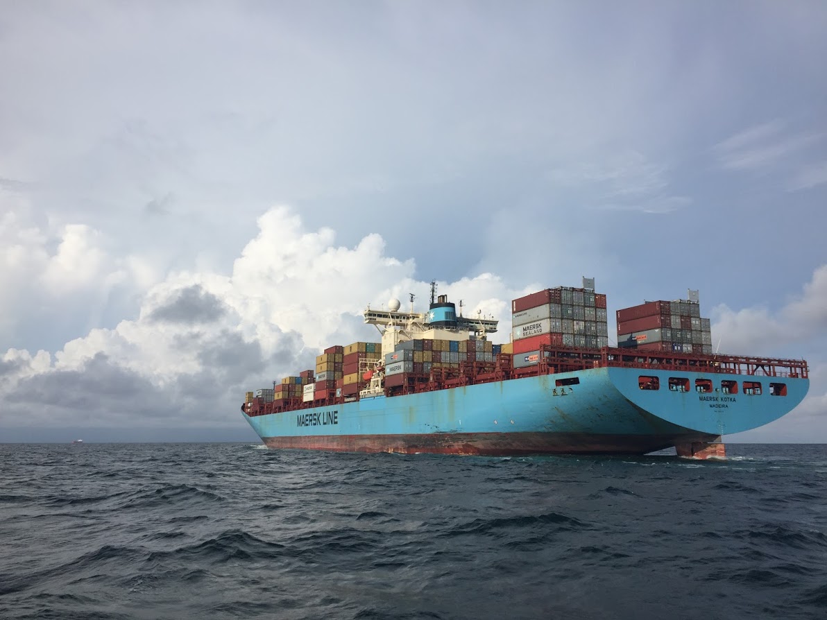
Cargo ships like this one rely on NOAA ocean conditions forecasts for safe
navigation.