Coastal Hazards
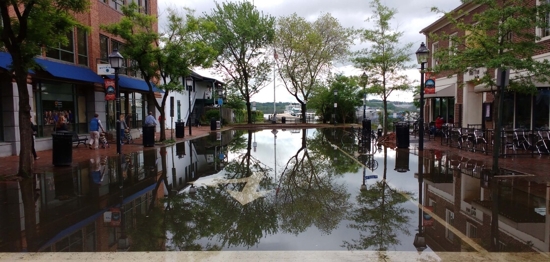
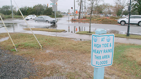
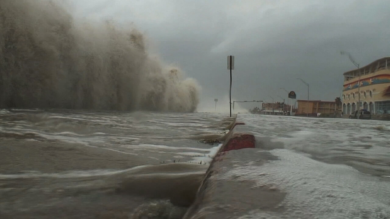
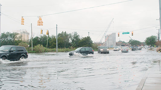
Flooded streets and parking lots, overflowing sewer systems, higher water during storms, disappearing coastlines. City planners in coastal states are all facing the same question: what decisions do we need to make today to protect our people, land, and infrastructure from extreme events and sea level rise?
NOAA's Center for Operational Oceanographic Products and Services (CO-OPS) is the nation's source for coastal inundation data and sea level trends through its network of long-term water level gauges. With this data and online tools and analysis, CO-OPS enables coastal communities to better plan for and mitigate risk from changing ocean conditions.
Long-term Sea Level Trends
The National Water Level Observation Network is a system of more than 200 permanent stations on the coasts that continuously record accurate information on water levels. Once a station has collected this data for more than 30 years, CO-OPS scientists are able to calculate the local rate of mean sea level rise or fall – or, a sea level trend.
Using these trends as a guide, communities can implement long-term adaptation plans to protect their economy from coastal hazards, including retrofitting stormwater drains, elevating or moving infrastructure, or using natural and nature-based green infrastructure practices to protect shorelines.
Response and Recovery
For many coastal communities, the impacts of sea level change are here now, not years away. CO-OPS understands that coastal cities are already dealing with higher tides, more frequent tidal flooding, and more extreme water levels during storms. CO-OPS provides a suite of tools, including critical real-time information and outlooks, that communities can use to prepare for these coastal hazards.
Coastal Hazards Products and Services
Coastal Inundation Dashboard
A decision support tool that helps communities anticipate and monitor what sea levels will do along the coast in the short-term and plan for the impacts of a high water event.
Annual High Tide Flooding Outlook
Annual tidal flooding monitoring and experimental outlooks for cities with long-term water level records.
Monthly High Tide Flooding Outlook
Shows when and where locations may experience higher than normal high tides.
Post-Event Peak Water Levels
Peak water level observations from NOS stations during tropical storms, hurricanes and significant non-tropical coastal storms.