NOAA CO-OPS Current Survey
Puget Sound, WA * San Juan Islands * Strait of Juan de Fuca
Two Stakeholder Meetings - August 14, 2013
Marine Navigation Discussion
- August 14 - 10am
- A discussion of the significance of the current survey to marine navigation and the selection of deployment locations important to marine navigation
- At the Puget Sound Harbor Safety Committee (PSHSC) meeting - open to the public
- See www.pshsc.org for location and more information
Research and Collaboration Meeting
- August 14 - 1pm
- A discussion of research implications of the current survey and potential collaborations across the Puget Sound research community
- At the NOAA Sand Point Campus - 7600 Sand Point Way NE - Seattle, WA - At the Building 9 Auditorium (campus map (PDF))
- For security reasons all attendees must email RSVP by August 7th to both:
Greg Dusek gregory.dusek@noaa.gov
Steve Bassett Steve.Bassett@noaa.gov
Introduction
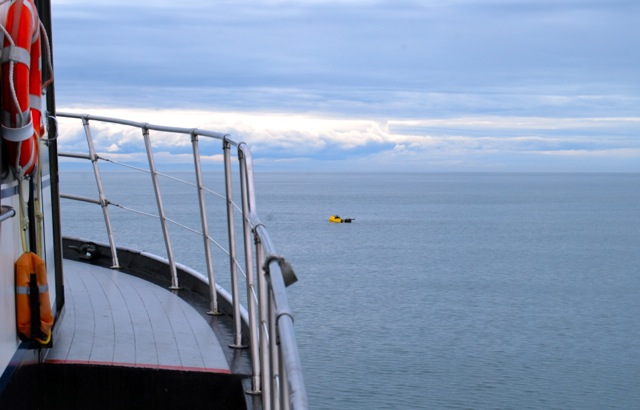
The NOAA Center for Operational Oceanographic Products and Services (CO-OPS) will be performing a current survey of about 120 locations throughout Puget Sound, the San Juan Islands and the Strait of Juan de Fuca. The results of this survey will be used to improve tidal current predictions in the NOAA Tidal Current Tables, to support a new operational forecast model, and will be provided to our partners, stakeholders and the general public.
August 2013 Stakeholder Meetings
- Two stakeholder meetings in Seattle, WA in August 2013
- Information on the current survey will be presented
- We will be eliciting feedback for deployment locations
Project Specifics:
- Acoustic Doppler Current Profilers (ADCPs) deployed at approximately 30 locations per summer for four consecutive summers
- Surveys to begin in summer of 2014
- Potential deployment locations are available here: Google Earth File or Excel File
Potential Deployment Locations
Background
The tidal current predictions in the Tidal Current Tables for the Puget Sound region are presently being generated from limited amounts of data collected in the 1930s-1960s. With improvements in measurement and computing technology, the accuracy of these predictions will be improved. Furthermore, the data collected will provide longer-term current measurements, which are required to create an accurate operational forecast model of Puget Sound. Attendance at public stakeholder meetings provides the opportunity to participate and provide input.
Since the 1800's CO-OPS and its predecessors have collected tidal current information to maintain and update the predictions in the NOAA Tidal Current Tables. CO-OPS annually deploys current meters in several tidally dominant locations around the country. Deployments typically last for at least one month, and collect enough current data to perform a tidal harmonic analysis. This analysis results in current predictions which are disseminated in the Tidal Current Tables and the CO-OPS website (http://tidesandcurrents.noaa.gov.) In addition to tidal predictions, these data can be used for circulation analysis, hydrodynamic models, and are available to the public.
To provide feedback or for more information contact:
Greg Dusek at gregory.dusek@noaa.gov phone# (301) 713-2890 x 165
Steve Bassett at Steve.Bassett@noaa.gov phone# (206) 526-6911