Prepare for coastal flooding with NOAA's new online tool
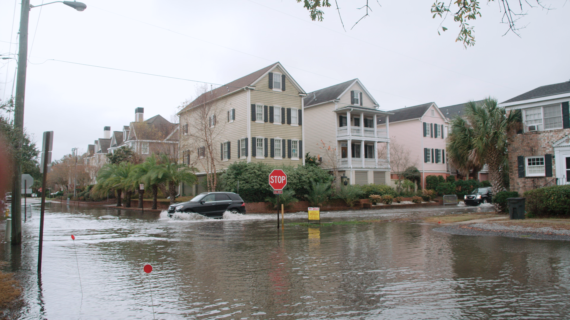
If you live along the coast, flooding can be a minor inconvenience, like having to walk to your car in ankle deep water. Or, it can be a major disaster during a hurricane or tropical storm that floods city infrastructure and homes. NOAA has brought together data from its over 200 long term coastal water level stations into one web tool that can help coastal communities monitor and prepare for all types of coastal flooding.
The Coastal Inundation Dashboard is a website that brings together real-time water level information, 48 hour forecasts of water levels, and historic flooding information into one powerful tool. Bringing this array of data types together will help decision makers as well as your average coastal resident, understand both near-term inundation risks, such as impacts from an approaching hurricane or nor’easter, and longer term risks such as high tide flooding and sea level rise.
Inundation is the amount of water that occurs above normally dry ground as a result of flooding. Along the coast, there are a few common sources of inundation including abnormally high tides, storm surge, persistent onshore winds and waves. In rivers and tidal estuaries, runoff from excessive rainfall can provide another source of inundation. The combination of all of these potential factors makes up the total water level. Inundation is most commonly referenced to the average daily highest tide, or the Mean Higher High Water (MHHW) tidal datum. Inundation can typically begins when water levels reach above this level.
If water rises above a certain level for a particular station, this tool will show whether it will be minor, moderate, or major flooding. Minor flooding has a low threat of property damage and no direct threat to life, moderate flooding has an elevated threat of property damage and some risk to life, and major flooding is a significant risk to life and property.
The ability to monitor water levels in the path of a tropical storm, hurricane or nor’easter in real-time is particularly important given the potentially significant threats to life and property. This capability will allow emergency managers and weather forecasters and the average citizen to more easily monitor water levels and make decisions before, during and after a storm.
NOAA’s Center for Operational Oceanographic Products and Services (CO-OPS) is the authoritative source for accurate, reliable, and timely tides, water levels, currents, and other coastal oceanographic and meteorological information. Our services support safe and efficient maritime commerce and transportation, help protect public health and safety, and promote robust, resilient coastal communities.