Water Level Partnerships
CO-OPS offers four partnership opportunities for stakeholders and organizations that collect water level and other oceanographic data. Click the name of each partnership type to learn more. If you are interested in pursuing a partnership with us, please visit our Contact Us page.

Coastal Hazards
Real-time water levels for operational inundation support applications and one minute real-time water levels for tsunami warnings.
Datums
Short- or long-term datums coverage to support both NOAA and partner products where a datum is required or highly favorable.
PORTS®
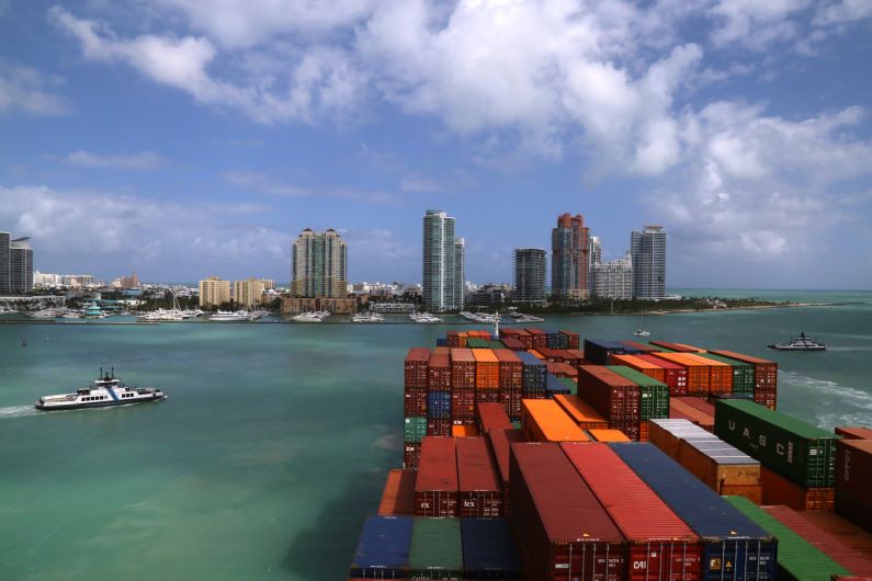
Real-time data collection to improve the safety and efficiency of maritime commerce and to support safe and efficient navigation.
Station Asset Usage
Integration of partner instrumentation with existing water level monitoring infrastructure to support a partner’s data collection needs.
